
Live Story Map of Prescribed Fire on HNF
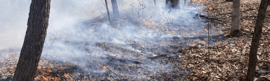
The Hoosier National Forest created a live ArcGIS StoryMap titled “Prescribed Fire on the Hoosier National Forest.” This interactive map allows the public to view planned, in-progress, and completed prescribed burns in real time. It also describes the history of fire on the HNF, why fires occur, how post-fire results are monitored, and even includes an interactive viewer of a forest before and after a fire.